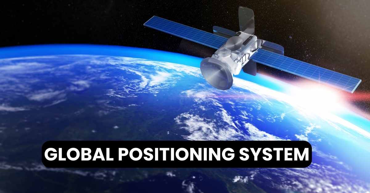
GPS: Satellite Navigation and How Global Positioning Systems Work

The GPS, known as the Global Positioning System, was created by the US Department of Defense as a satellite-based navigation tool. It offers location and time data to GPS receivers without the need for a phone or internet connection. This technology is utilized for purposes by military, civilian, and commercial sectors across the world.
GPS: A Brief History
GPS Full Form Global Positioning System created by the US Department of Defense in the 1970s for purposes was fully operational by 1995. Over time, it has evolved into a tool for civilians, allowing navigation, location-based services, and synchronized timekeeping in numerous industries worldwide.
What GPS Does
The Global Positioning System (GPS) is a navigation system that relies on satellites to give location and time data worldwide. Created and managed by the US government, GPS involves satellites sending signals to receivers that determine their position using trilateration. This technology is widely used for navigation, mapping, surveying, and scientific work worldwide.
Components of a GPS System:
Satellites: A group of 24 satellites, along with backups, circle the Earth, sending out signals nonstop to help GPS devices figure out where they are.
GPS Receiver: This device receives signals from satellites, calculates the distances to each satellite, and uses trilateration to determine its position on Earth.
Control Segment: Monitoring and overseeing the satellite constellation ground stations work diligently to maintain precise positioning data through updates and corrections.
User Segment: GPS devices used by people or groups pick up signals from satellites. Interpret them to offer location, navigation, and time details.
Navigation Devices: Devices like handheld GPS units for outdoor use, GPS-equipped smartphones, and navigation systems in vehicles all use GPS signals for accurate location tracking and route guidance.
How GPS Helps You Find Your Way
GPS, or Global Positioning System, works through a network of satellites orbiting the Earth. Here’s a basic overview of how it operates:
Satellite Constellation: There are around 30 satellites in the GPS constellation, positioned in medium Earth orbit (MEO).
Triangulation Principle: GPS technology works by using trilateration to figure out the location. It measures the distance from three or more satellites to determine a point on Earth.
Signal Transmission: Each satellite continuously sends out signals that show where it is and the precise time it sends the signal.
Receiver Calculation: A GPS device, like those in smartphones or navigation systems, receives signals from satellites. It measures the time these signals take to reach the device and calculates its distance from each satellite using the transmission times provided.
Determining Position: By utilizing distance data from a minimum of three satellites, the GPS device is able to pinpoint its location on Earth through calculations.
Accuracy: The precision of GPS relies on factors such as the number of satellites in view signal obstructions, like buildings and trees and atmospheric circumstances. Nowadays contemporary GPS devices can usually offer location accuracy within a distance.
GPS technology has completely transformed the way we navigate track locations. Create maps in sectors such as transportation, farming, and outdoor activities.
How GPS Pinpoints Locations
Trilateration is a method used in GPS and other positioning systems to find the location of a point by measuring how far it is from known points. Here’s how it works:
Known Points: Trilateration involves the need to accurately determine the positions of a minimum of three points in space. In the context of GPS, these points refer to the satellites that circle the Earth, each having a predetermined location.
Distance Measurement: The GPS device determines the distance to satellites by timing how long it takes for signals to travel from them. Radio waves move at the speed of light, so we can use this time delay to calculate distance.
Intersection of Spheres: Each distance measurement corresponds to the radius of a sphere around every satellite, with the receiver positioned on the surface of each sphere. Trilateration operates by determining where these spheres intersect.
Calculation: When the GPS receiver’s spheres or circles intersect (in a 2D space), it accurately determines its position by comparing it with the fixed satellite positions. The receiver’s precision in locating itself gets better as it factors in data from satellites, typically needing a minimum of three for 2D positioning and four for 3D positioning.
Trilateration serves as a concept in GPS navigation technology, enabling accurate location pinpointing in situations where obstacles hinder direct satellite visibility.
How GPS Helps in Everyday Life
GPS, or Global Positioning System, has numerous practical applications across various fields. Here are some of the key uses:
Navigation: GPS is widely used for navigation by vehicles like cars, ships, and airplanes, as well as by pedestrians. It offers up-to-date location details, suggested routes, and guidance to assist individuals in reaching their destinations.
Mapping and Surveying: Mapping and surveying applications heavily rely on GPS technology, which plays a role in mapping terrains, urban landscapes, and geographical landmarks. Additionally, it facilitates land boundary surveys and the monitoring of construction sites and infrastructure projects.
Fleet Management: Companies utilize GPS technology to monitor and coordinate groups of vehicles, enhance travel routes, keep tabs on vehicle positions, boost fuel economy, and guarantee deliveries or services.
Emergency Services: GPS plays a role in emergency response systems by enabling dispatchers and responders to pinpoint individuals in distress, leading to faster response times and the potential to save lives.
Outdoor Recreation: Many outdoor enthusiasts depend on GPS devices and apps for activities like hiking, cycling, camping, and geocaching. These tools offer navigation assistance, trail mapping features, and the ability to track locations in unfamiliar areas.
Agriculture: Precision farming makes use of GPS technology to create maps. Efficiently manage agricultural resources. This technology assists farmers in maximizing their planting, watering, fertilizing, and harvesting operations by utilizing information.
Military and Defense: GPS is integral to military operations for navigation, target tracking, logistics, and coordinating troop movements. Military-grade GPS offers enhanced accuracy and security features.
Asset Tracking: Tracking assets, like vehicles, equipment, containers, and shipments, in logistics and supply chain management is made possible through GPS technology. This system offers real-time location updates. Improves inventory control.
Fitness and Wearables: Fitness gadgets with GPS and smartwatches track exercise distances, record speed and altitude data, and offer navigation support for runners, cyclists, and sports enthusiasts.
Scientific Research: GPS helps studies in fields like geology, ecology, climatology, and oceanography by enabling accurate data collection and analysis over various time periods.


